Rainfall Likely In These States Today, Fresh Spell From March 23
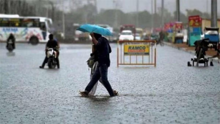
Significant reduction in rainfall and thunderstorm activity is expected over northwest and east India from today, the Indian Meteorological Department (IMD) has said.
The weather forecasting agency said that a fresh spell of rainfall and thunderstorm activity is likely to commence over the northwest India, including the Western Himalayan region and states like Punjab, Haryana, Delhi, Uttar Pradesh, Rajasthan from March 23.
Manorama Mohanty, Met director, Ahmedabad, said that Gujarat may witness railfall activity for the next 3-4 days, with a possibility of light rainfall on Tuesday.
“There’s a possibility of rain in Ahmedabad and Gandhinagar as well. There’s a possibility of less rain on March 24. There is no possibility of heat wave for next four days,” ANI quoted her as saying.
Delhi on Monday received the highest 24-hour rainfall for March in the past three years, recording 6.6 mm precipitation in just three hours, according to IMD. Pleasant weather conditions prevailed in the national capital with the maximum temperature settling at 27.1 degrees Celsius, three notches below the season’s average. The minimum temperature, on the other hand, was recorded a notch above normal at 17.4 degrees Celsius.
The Met department has predicted cloudy skies for Tuesday with the possibility of very light rain or drizzle. The maximum and minimum temperatures are expected to hover around 26 and 16 degrees Celsius, respectively.
Light to moderate rainfall with thunderstorm and lightning is likely to continue over West Bengal and Sikkim and northeastern states during the next three days.
“Isolated heavy rainfall very likely over Arunachal Pradesh, Assam and Mghalaya during 20th – 22nd; Nagaland, Manipur, Mizoram & Tripura, during 20th-21st,” IMD said in a release.