South Peninsular India Recorded Hottest, Driest June In 122 Years: IMD
India’s south peninsular region recorded the warmest and driest June in 122 years at 34.05°C, along with the lowest recorded rainfall at 88.6mm since 1901, according to India Meteorological Department (IMD).
In 1976, it recorded 90.7mm, the second lowest rainfall for June. The long-period average or normal rainfall for the region is 161 mm.
According to IMD, in June, the average maximum temperature in the region was the highest since 1901 at 34.05°C. The earlier record was in 2014 when the maximum temperature for the month reached 33.74°C. The mean temperature is also the highest since 1901 at 30.05°C. The earlier record was 29.98°C in 2014.
“Monsoon was delayed over Peninsular India. Even when it started it was not a strong monsoon advance. When there is deficient rainfall, the temperature goes up. Rainfall is picking up over the west coast now since June 25,” said M Mohapatra, director general, IMD.
He explained that an extremely severe cyclone, Biparjoy which formed on June 7 helped the monsoon over the peninsular region till June 9 but thereafter the cyclone moved northward and the system got detached from the monsoon current.
“Monsoon was weak over the peninsular region till June 25 because the Arabian Sea branch of monsoon was very subdued. It is very active now,” added the IMD director.
During June, out of 36 sub-divisions, three received large excess (60% or more) rainfall, seven excess (20% to 59%), seven normal (-19% to 19), 17 deficient (-59% to -20%) and two sub-divisions received large deficient rainfall (-99% to -60%).
It was the seventh warmest June since 1901 with mean temperature rising to 29.99°C, 0.75°C above normal, across India, said IMD.
The average maximum temperature was the tenth highest (34.60°C, 0.87°C above normal) and the average minimum temperature was the eighth highest (25.39°C, 0.62°C above normal). Warmer than normal temperatures were observed mainly from June 5 to 24. East and northeast India recorded the third warmest June since 1901. The region recorded an average maximum temperature of 33.87°C, 1.73°C above normal.
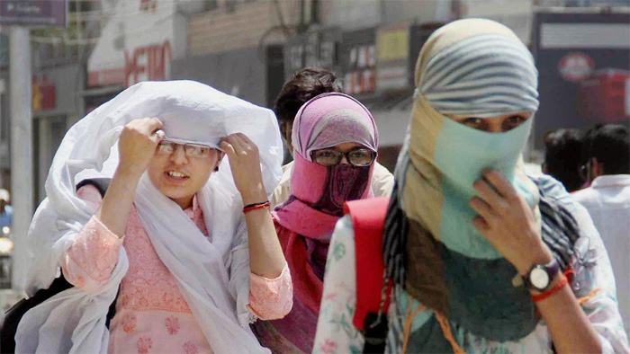
East India was worst affected by heat waves in June. Against the normal of 2-4 days, parts of east India recorded 11-19 heat wave days covering West Bengal, Odisha, Bihar, east Uttar Pradesh, Jharkhand, Chhattisgarh, Coastal Andhra Pradesh, Telangana followed by 7-9 days over adjoining central parts of India which covered East Madhya Pradesh, Vidarbha.
Heatwave to severe heat wave was observed from June 1 to June 22 over Bihar; June 1 to June 18 over West Bengal; June 12 to 21 over East Uttar Pradesh. But over northwest and adjoining central parts of India, it was lower than normal with almost no occurrences of any heatwave conditions over Rajasthan, Punjab, Haryana, Chandigarh, Delhi and Gujarat, said the weather department said.
IMD has further warned of an intense spell of rainfall over south Peninsular India and north Maharashtra till July 6 and over Gujarat from July 6 to 8. Meanwhile, a red alert for Kerala and an orange for the rest of the west coast covering Karnataka, Konkan and Maharashtra was declared on Tuesday. There is also an orange alert for the west coast on Wednesday and Thursday.
IMD has also issued an orange alert for Uttar Pradesh and parts of northeast India for heavy rainfall on Tuesday. A red alert implies that local authorities should act to prevent rain-related disasters and an orange category warning implies they should be prepared to deal with emergencies due to heavy rain.
According to IMD, the western end of the monsoon trough at mean sea level is lying near its normal position while its eastern end is lying to the south of its normal position.
It said that cyclonic circulation is lying over central parts of Uttar Pradesh in lower tropospheric levels. The off-shore trough at mean sea level is running from the south Gujarat coast to the Kerala coast.
Further, a cyclonic circulation is lying over south Gujarat and its neighbourhood, west-central Bay of Bengal and adjoining north Andhra Pradesh coast in lower and middle tropospheric levels, according to IMD.
“The monsoon trough is tilting southwards. In addition, there is an off-shore trough (an elongated area of low pressure along the west coast) which is bringing a lot of rain to the West coast now. Rainfall will increase in the next 2-3 days as the trough moves northwards bringing heavy rain to Maharashtra and Gujarat also,” said DS Pai, senior scientist at IMD.